This NPR video, “Housing Segregation and Redlining in America: A Short History,” provides context for the segregation and redlining that occurred in Montford:
Further Study
There are countless resources available on this topic, for example, this brief article by ThoughtCo, “History of Redlining,” which has numerous links for further study.
Redlining in Montford
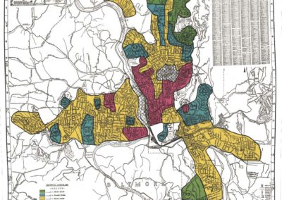
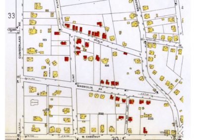
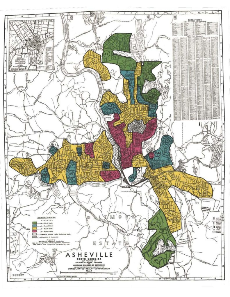
In 1937, the Asheville Home Owners Loan Corporation (HOLC) map (pictured above) marked Stumptown and adjacent Hill Street section of Montford “red” with the lowest “security grade” – D – with 75% “negro” thus making the area ineligible for FHA loans. Some rest of the neighborhood received the second lowest grade – C – declining” with 2% “negro” and “infiltration of negro slowly in area.” The section just north of Riverside Cemetery was considered a B grade with no “negroes.”
Click here to see a neighborhood map which clearly shows the section of our neighborhood that was redlined (labeled in the key as “Stumptown and Hill Street Neighborhood”).
